Determine site selection, route selection, evacuation planning, model mine construction, resource extraction and pipeline planning with our GIS services.

GIS Consulting
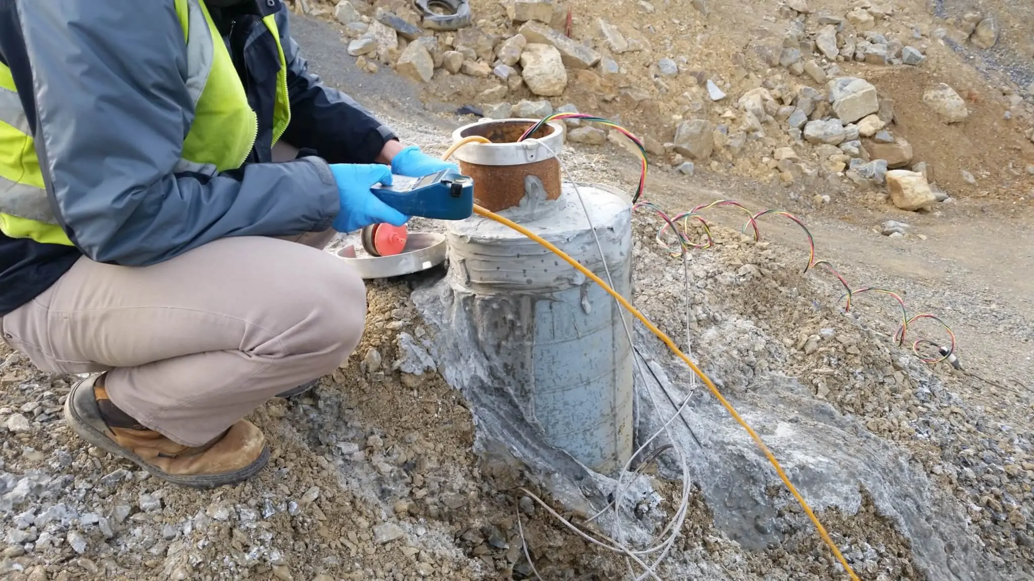
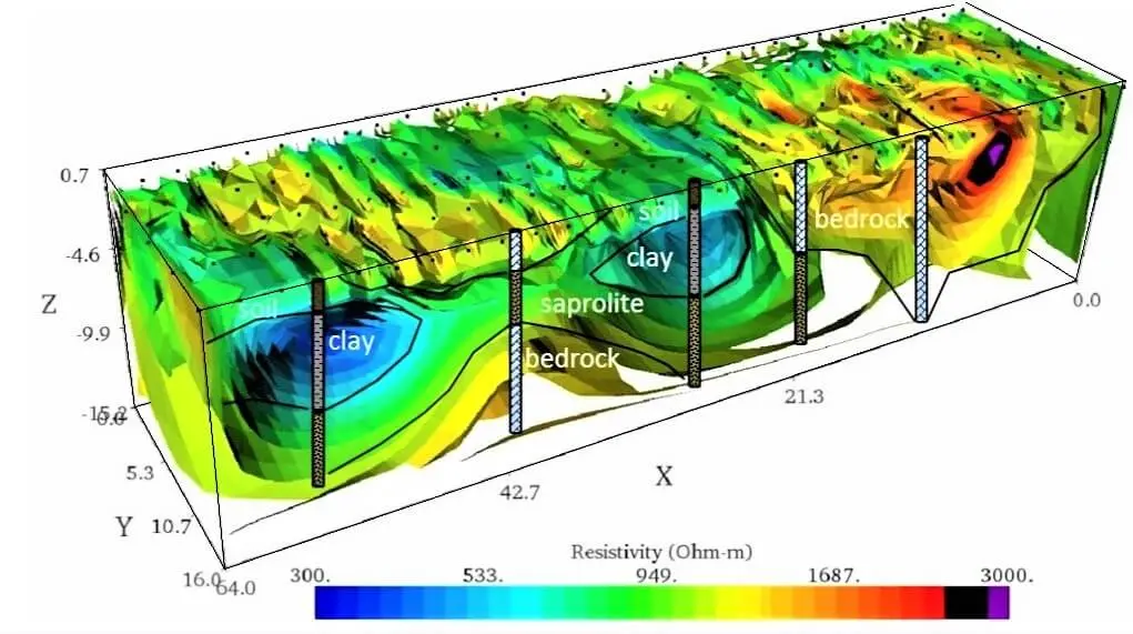
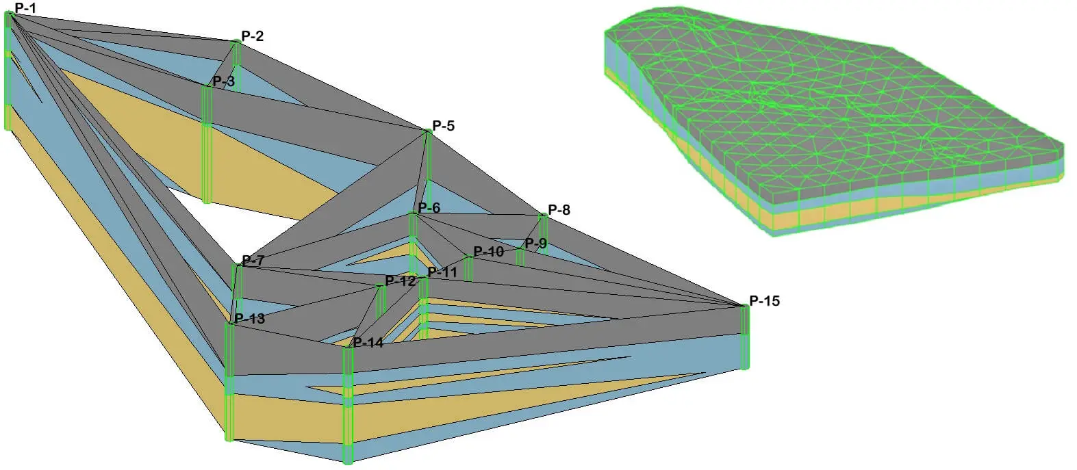
Using available geographic information system data (GIS) EARTHRES can help you evaluate and plan for future operations/expansions. EARTHRES can generate georeferenced maps using field collected data. These maps can be used for construction planning, record keeping, etc.
── Geographical Data
- Economic
- Social
- Zoning
- Environmental
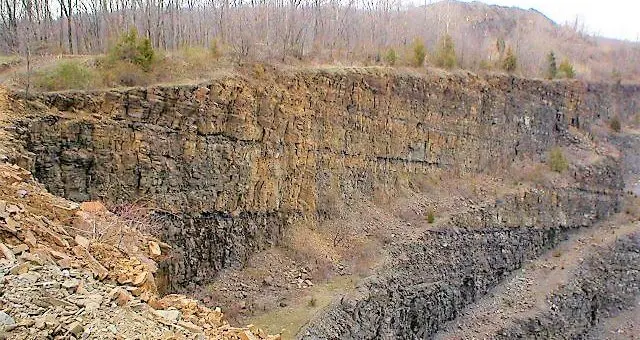
- Geological
- Hydrogeological
- Civil Infrastructure
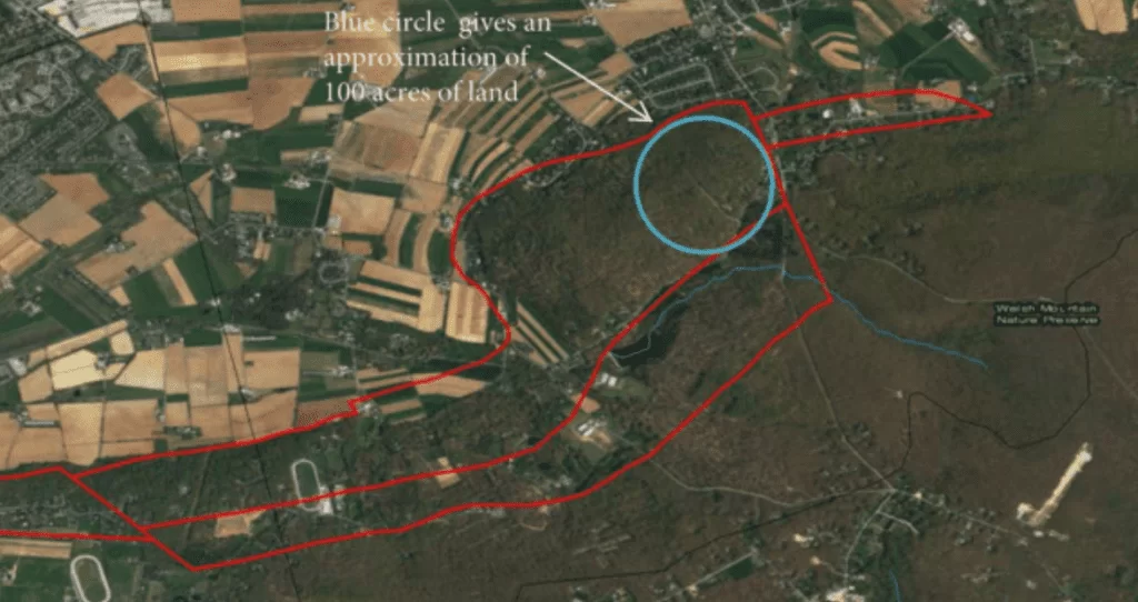
- Location
- Property
- Traffic
- Energy
- Field Data
── Modeling
- Demographics
- Hydrogeology
- Geology
- Resource and Asset Management
- Hazard Analysis
- Land Use
- Construction Management
- Property Management
- Infrastructure
── Mapping Technology
Using our GIS services, you will be able to view your facility with georeferenced data, allowing you to make faster, better-informed decisions. Contact us for cost-effective GIS mapping services to provide georeferenced data for comprehensive planning of your next project.