Search
Close this search box.

Civil / survey /
construction support

Specializing in “soup to nuts” projects from exploration through reclamation and closure.

OUR APPROACH

Our civil engineering team will use their years of design experience to focus on providing you the optimal layout for your project. Our dedicated survey team will focus on timely surveys utilizing cutting edge technology to best align ourselves to your project’s site-specific requirements.

We take your vision and collaborates from the initial step of planning to the day your project becomes a reality.

With a wide array of services offered to our construction partners for over 20 years, we understand that every civil engineering project is unique based on the needs of the client and the physical properties of the site.

SERVICES INCLUDE ⸺

We understand that every project will have certain needs and that these needs will impact your approval timeline or construction schedule.

At EARTHRES, our design professionals have long recognized that your project vision grows from accurate initial surveys. There is no substitute for the precise data that EARTHRES’ survey team will provide you.

CASE STUDY

Effluent Force Main Design

The Challenge

EARTHRES prepared the detailed design, permit application documents and construction bid packages for the construction of leachate pretreatment components and a 5-mile long effluent force main for the conveyance of pre-treated leachate from a new equalization/storage tank to the pump station. The force main would require construction through ecologically sensitive areas and wetlands.


OUR EXPERIENCE

With our tenured history, EARTHRES quickly recognizes project concerns and communicates solutions to our partners in line with the project goals.

EARTHRES prides itself on working side-by-side with our partners to provide timely approvals and cost-effective design, and can provide you with all of the following to achieve your project goal:

Throughout the approval process of your site, EARTHRES focuses on both the short-term and long-term goals for our partners. EARTHRES prides itself on communicating to our partners the various facets of civil engineering as your project develops from the planning stage to the design stage to the approval stage. This is done while focusing on your project goals from the initial project steps. Since EARTHRES utilizes a multi-faceted design team, we recognize the best ways to achieve your goal.

CIVIL ENGINEERING

Technological advances make civil engineering a dynamic aspect of your project. EARTHRES employs the latest tools for surveying such as aerial surveys completed by drone and 3D-laser surveys to provide the accuracy of design your project deserves.

EARTHRES understands that civil engineering is a broad term with many design specialties and that is why EARTHRES has licensed professionals with expertise in land development engineering, hydrology, geotechnical engineering, structural engineering, and water resource permitting.

Ground/Aerial Surveys & 3D Scanning ⸺

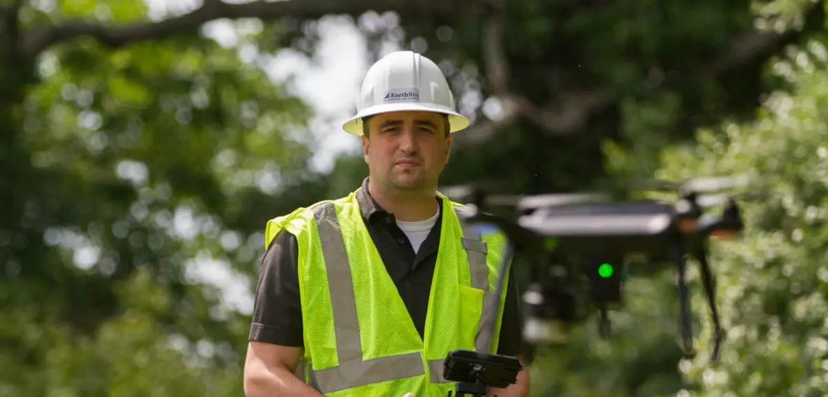
It might be an old adage, but “Time Is Money” and the EARTHRES survey team will collaborate with you to verify that your schedules are maintained. Our professionally trained survey team will assess any survey need and communicate to you the most accurate and cost-effective methodology for resolution. The EARTHRES aerial team is properly licensed under FAA Part 107 and is experienced in obtaining waivers for otherwise restricted airspace to avoid legal challenges for your project. We understand that prompt survey service propagates all the construction facets of your schedule. EARTHRES proudly utilizes state-of-the-art methodologies so that you are assured that your project receives the service it deserves.

  • Latest Leica CS20 SmartNet™ GPS survey technology capable of sub-centimeter surveying accuracy
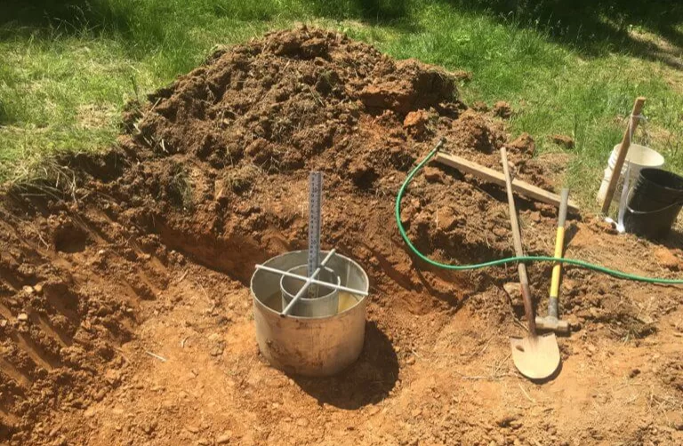
  • 3D scanning capabilities from small interior projects to the largest industrial sites
  • Reflectorless total station survey capabilities in covered or constricted locations where GPS signal is unavailable
  • Lake, river, basin, and/or impoundment Bathymetric survey equipment
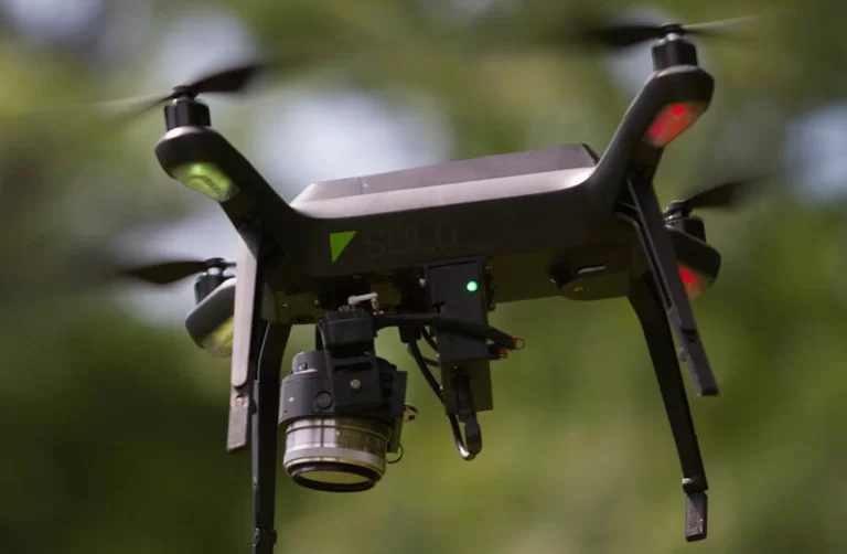
  • Aerial fixed wing (plane) drone technology to capture high accuracy topography of large tracts of land
  • Aerial multi-rotor drone technology to capture precise structure, photographic, and site data for smaller project limits
  • Aerial inspection and as-built video documentation to log construction quality assurance such as geo-synthetic liner operations, conveyor erection, and highwall stability verification.

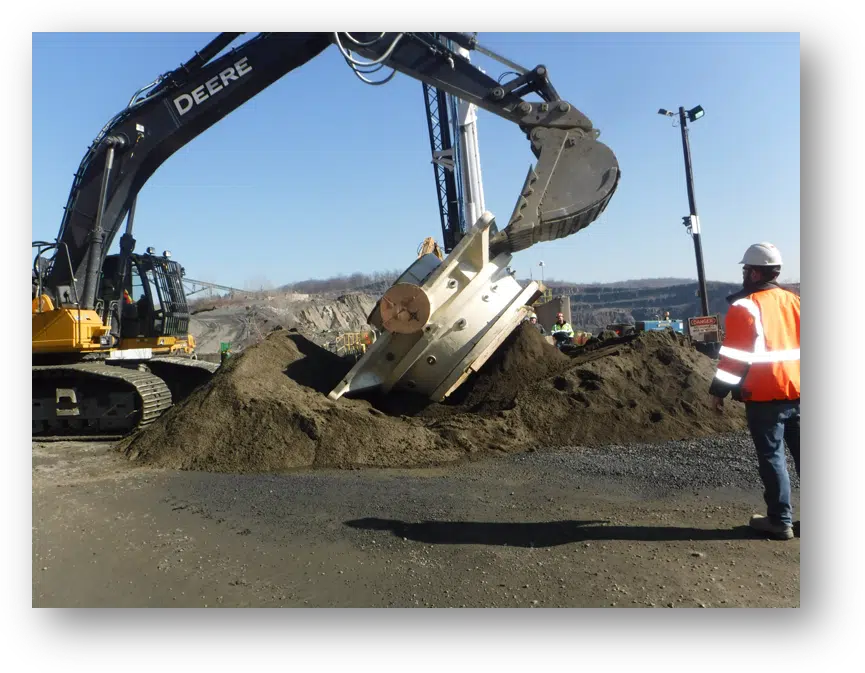
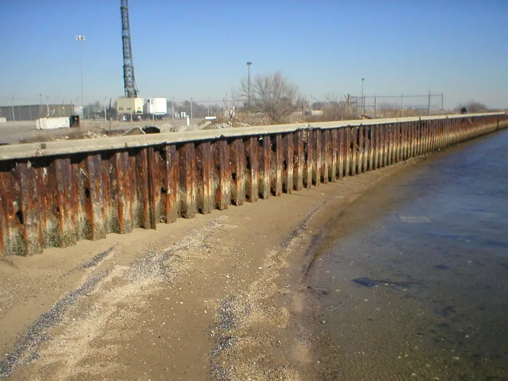
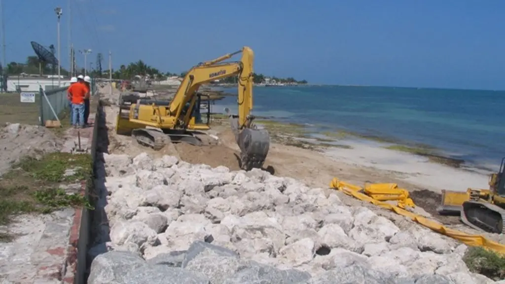
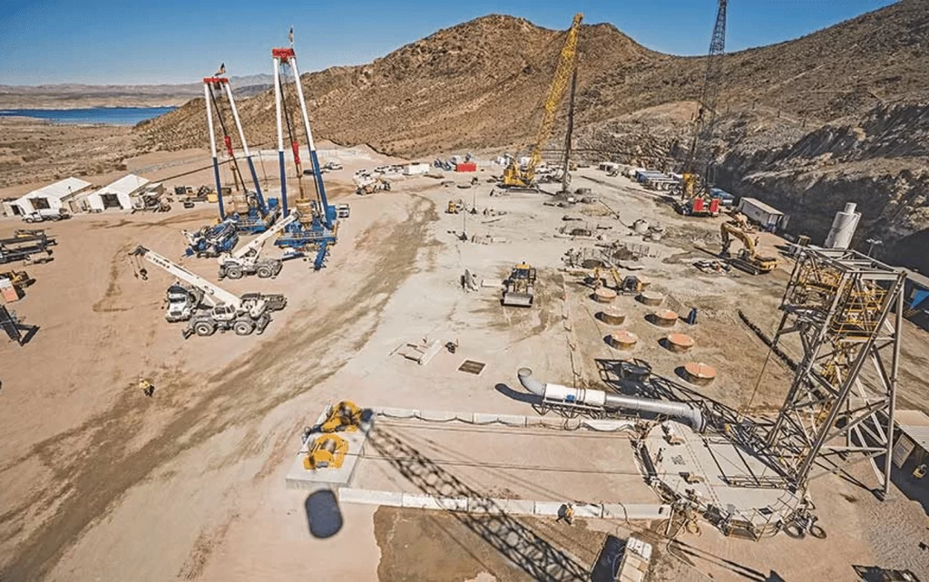
Throughout EARTHRES’ decades of providing quality and accurate survey information, we have collaborated with our partners in the following industries:

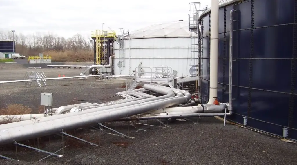
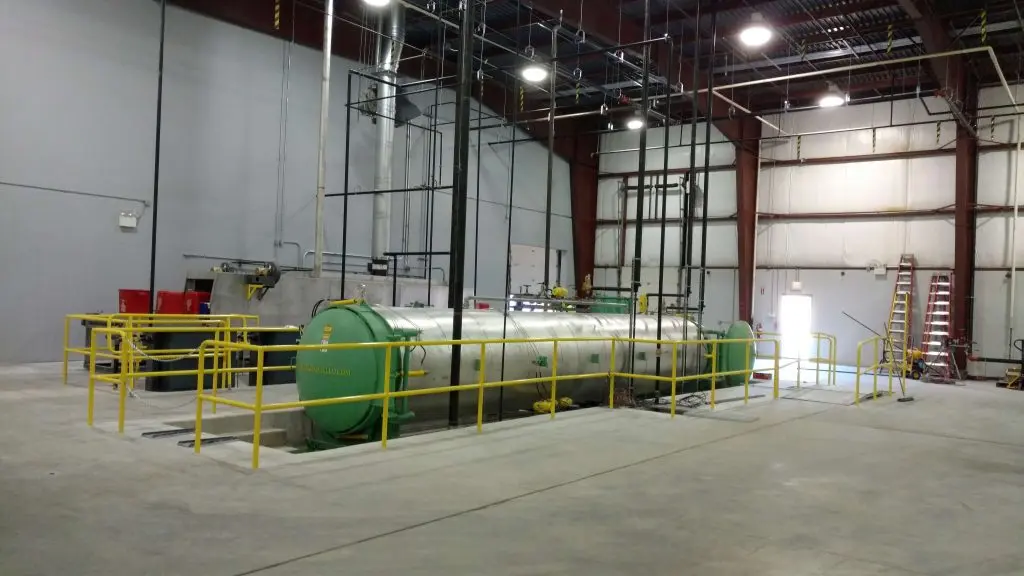
  • Energy – Oil and Gas
  • Land Development – Commercial, Residential, Industrial, and Institutional
  • Mining
  • Industrial
  • Solid Waste

This diversity affords the EARTHRES survey team a vast inventory of professional engineering experience so you know that your project needs will be handled by a team that has completed challenging surveys in the past. Whether by land, by air, or by boat, your dedicated team at EARTHRES will provide the most cost-effective, accurate, and timely survey so your project vision advances into reality.

Successes

Our people

Meet the team behind the work.

Case study library

Solving our industry’s challenges.